GIS TRAINING WORKSHOP EQUIPS RANGERS WITH ESSENTIAL MAPPING SKILLS
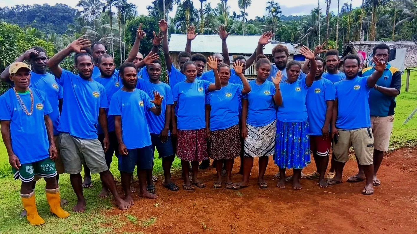
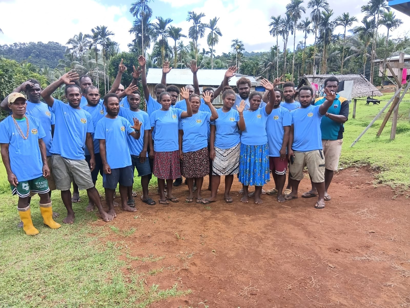
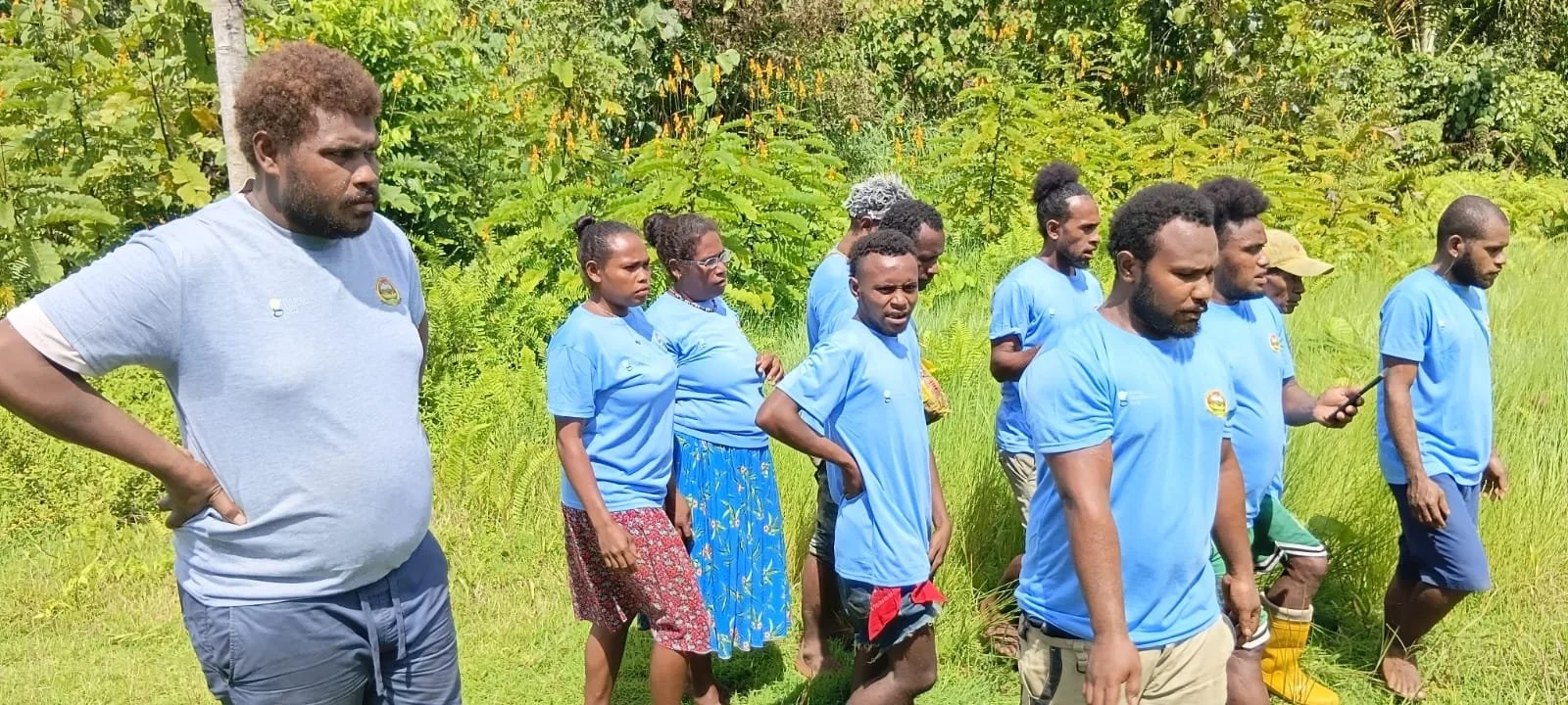
Group photo of Participants of the GIS training
Participants in the recent Geographic Information Systems (GIS) Training Workshop have completed practical training designed to enhance their skills in mapping, boundary identification, and data collection using modern GPS technology and mobile applications.
At the beginning of the workshop, participants were asked to share their expectations. Many expressed a strong desire to learn how to use modern GPS devices and smartphone applications for mapping purposes, identifying protected area boundaries, and collecting accurate field data.
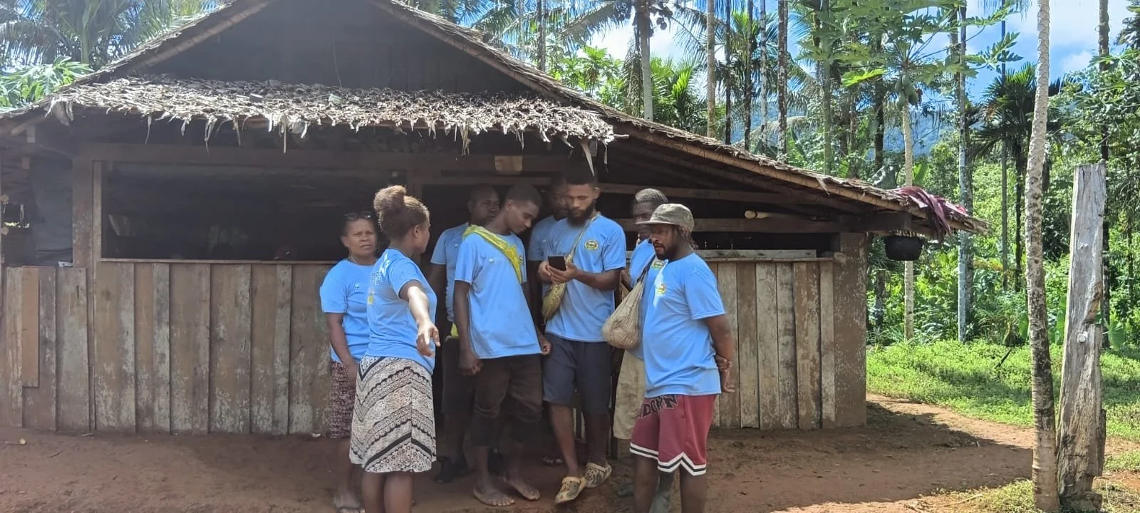
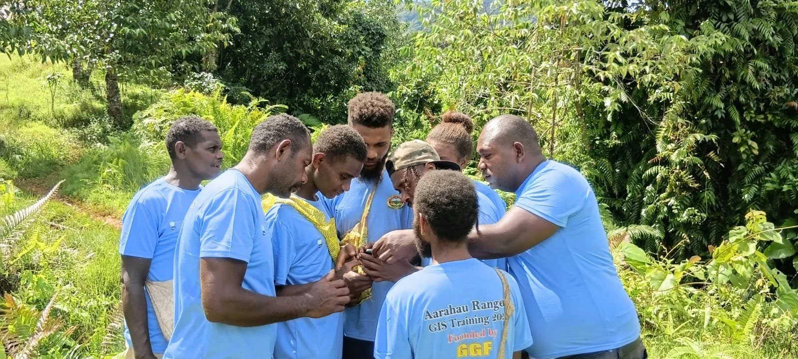
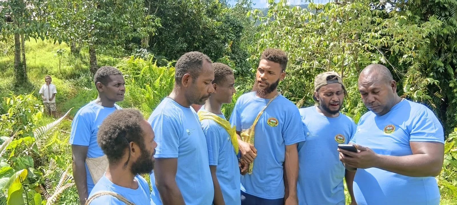
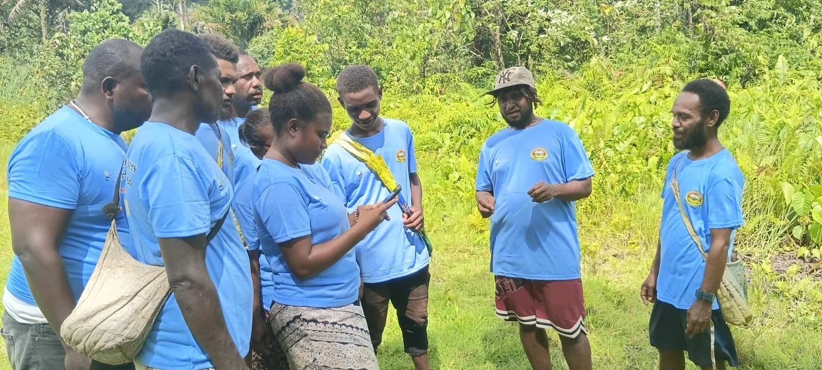
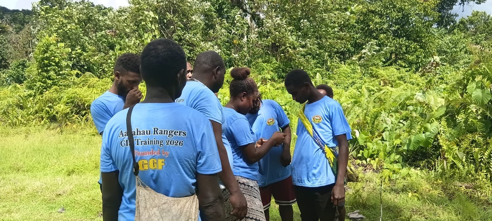
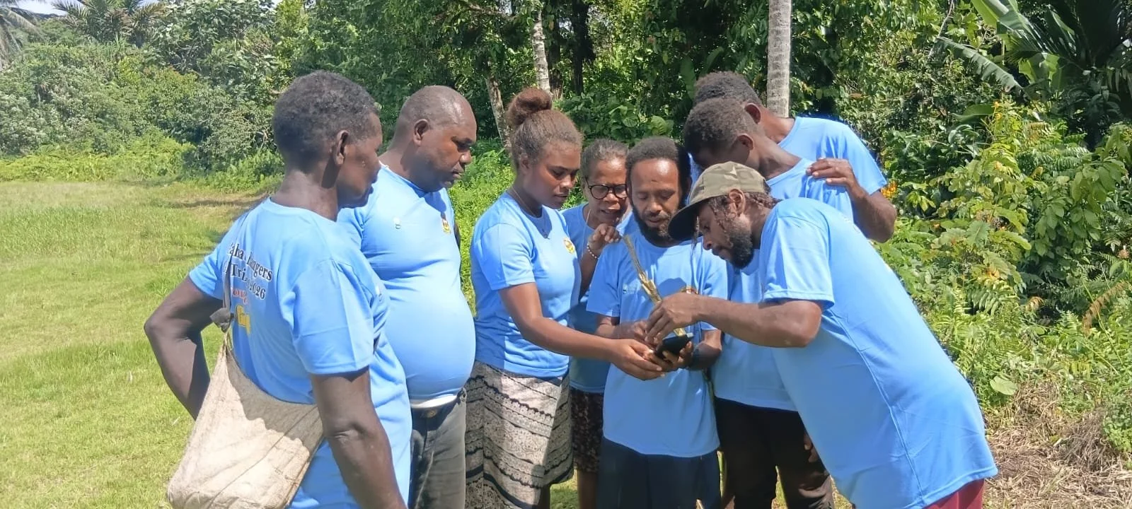
Throughout the training, participants were provided with hands-on opportunities to practice using GPS tools and applications, enabling them to become familiar with the equipment and techniques. They later undertook practical exercises involving the collection of coordinate points along designated boundaries and the proper recording and storage of spatial data.
Speaking at the closing of the workshop, Head Ranger Charles Heraka acknowledged the commitment of both the facilitators and participants. He encouraged the rangers not to take the opportunity lightly but to remain dedicated and determined in carrying out their ranger responsibilities.
Participant Luke Naitoro also shared his appreciation for the training, describing it as an important and valuable learning opportunity that will enhance the effectiveness of ranger operations and conservation work.
The Arahau Home-Based Chairman extended his gratitude to all participants, facilitators, and sponsors whose support contributed to the success of the training. He encouraged the rangers to continue their good work, remain committed to conservation efforts, and actively participate in future ranger training programs.
The GIS Training Workshop forms part of ongoing efforts to strengthen ranger capacity and improve the management and protection of the Arahau Forest Protected Area through the use of modern mapping and data collection technologies.
The Aarahau Forest Protected Area Association (AFPAA) sincerely acknowledges the generous support of the Global Greengrant Fund, whose contribution made this training possible. Through their support, community rangers and conservation practitioners were able to strengthen their skills in GIS boundary mapping and biodiversity conservation. We are grateful for their commitment to empowering local communities and advancing conservation efforts in Malaita Province.
Ends